What did Native American lands look like in the early 1800s?
Step 1: Go to the ArcGIS Online map, Native American Lands 1819 to 2015. Take a minute to explore the map. In 1819, Native American lands were two-thirds of the area of the United States today.
Step 2: Click the Content button. Use the Measure tool to measure the area of the vast contiguous tribal lands.
- How many square miles (approximately) were measured?
- Why do you think the area got bigger or smaller by 1850?
Why were settlers moving west?
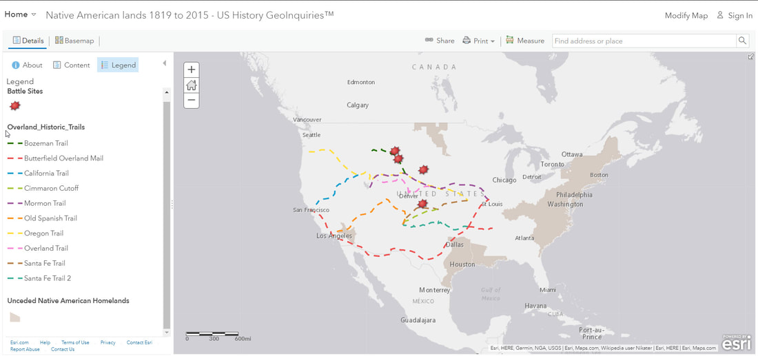
Step 3: Click on the button, Basemap, and then choose “Terrain with Labels.” Turn on the “Overland Historical Trails” layer.
In 1843, John Louis O’Sullivan wrote, “Other nations have tried to check… the fulfillment of our manifest destiny to overspread the continent allotted by Providence for the free development of our yearly multiplying millions.” America, the still-young nation, was moving west.
American settlers began moving westward for land, mineral wealth, or natural resources, which they believed the west offered and to which US citizens felt entitled.
What happens when different cultures collide?
In the 1990s, Mary Brave Bird wrote of Native American lands, “The land is sacred. Those words are at the core of our being. The land is our mother, the river our blood. Take our land away, and we die. That is, the Indian in us dies.”
Step 4: Turn on the “Battle Sites” layer. Click each battle site, and briefly look at the causes of each battle.
- How close were the battle sites to the Overland Historic Trails?
- Considering the Bird and O’Sullivan quotes, why did these clashes and battles occur?
How Much Native American land was there in 2015?
Step 5: Read the Table Statistics box by doing the following. Hover over the layer name in the “Contents” pane. Click the “Show Table” icon for the layer. Click on the column header. Click “Statistics.”
Step 6: Calculate the present decrease of Native American lands from 1819 to 2015. Use the Statistics function in the table for the “Native American Reservations 2015” layer. Select the “Square Miles” field.
Note the sum of the square miles field. Divide the sum of 2015 by the area measured before (the “Ask” section), and multiply by 100. Approximately how much of the land from 1819 is held today by Native Americans?
How would you characterize America’s pursuit of Manifest Destiny?
Step 7: Turn on all the Native American Tribal Homelands and reservations layers. The layered effect of the data should allow a clear pattern of reduction in lands.
- Remembering that the Native American lands in 1819 comprised 66 percent of the total square miles of the modern contiguous US (3 million square miles), what percent of the total square miles of the 2015 Native American reservation (103,407 square miles) are in the contiguous U.S. today?
- What was the “cost” of America’s pursuit of Manifest Destiny?
Current Events Regarding Native American Lands
Native Americans are still dealing with American policies regarding their religious and sacred sites. The current events below focus on Standing Rock Indian Reservation in North Dakota and Bears Ears Monument in Utah.
- How does the Dakota Pipeline and Standing Rock Indian Reservation situation relate to the history and experiences of Native American relationships with the United States?
- Explain the dispute occurring between the United States federal government and the first nations trying to protect Bear’s Ears Monument.
